-
0
-
0
Shop by Category
- back
- Traversing Kit
- Nikon Battery BC-65, 7.2V
- Nikon Battery Charger Q-75E, 7.2V
- Nikon Battery BC-80
- Nikon Nivo Charger
- Nikon Nivo Battery
- Nikon Data Cable
- Sliding Mini Prism
- Mini Prism
- Tripod Stand for Total Station
- Tripod Stand for Auto Level
- Levelling Staff
- Fibre Levellng Staff
- GPS Bipod
- Prism Pole Tripod
- GPS Carbon Pole
- Prism Pole
- Big Prism
- Liquid Limit Device, Hand Operated with Counter
- Liquid Limit Cone Penetrometer
- Shrinkage Limit Apparatus
- Compaction Test For Water Content and Dry Density of Soils
- Automatic Soil Compaction Machine
- Pocket Penetrometer
- Soil Permeability Apparatus
- Hot Air Oven
- CORE CUTTER RAMMER .
- SOIL HYDROMETER
- GRAIN SIZE ANALYSIS APPARATUS PIPETTE METHOD - AS PER IS2720 PART-IV
- BISHOP PORE PRESSURE APAPRATUS (10KG/CM²)
- FINE SIEVE SET - 20CM DIA - SET
- SAMPLE EXTRACTOR - FOR 100 AND 150MM DIA SPECIMEN
- SAND EQUIVALENT VALUE TEST APPARATUS WITH ACCESSORIES
- SWELL PRESSURE TEST APPARATUS W/O PROVING RING AND DIAL GAUGE-
- SOIL PERMEABILITY APPARATUS FOR CONSTANT AND VARIABLE HEAD TEST
- UNCONFINED COMPRESSION TESTER
- RELATIVE DENSITY APPARATUS RELATIVE DENSITY APPARATUS
- LABORATORY VANE SHEAR APPARATUS
- RAPID MOISTURE METER-WITH PRESSURE GAUGE
- Laboratory CBR
- Load Frame
- PROVING RING-COMPRESSION TYPE-25 KN - WITH DIAL GAUGE
- LOS ANGELES ABRASION TESTING MACHINE - WITH PRESETTABLE DIGITAL COUNTER
- DEVAL ABRASION TESTING MACHINE- DEVAL ABRASION TESTING MACHINE-
- TILE ABRASION TESTING MACHINE WITH DIGITAL COUNTER-
- BUOYANCY BALANCE
- AGGREGATE IMPACT TESTING MACHINE WITH BLOW COUNTER-
- DENSITY BASKET
- FLAKINESS INDEX GAUGE
- PYCNOMETER BOTTLE
- LENGTH GAUGE
- AGGREGATE CRUSHING VALUE TEST APPARATUS
- RIFFLE SAMPLE DIVIDER
- BULK DENSITY CYLINDERICAL METAL MEASURE
- sieve shaker
- COMPRESSION TESTING MACHINE
- COMPACTION FACTOR APPARATUS
- CONCRETE PENETROMETER - POCKET TYPE
- LATERAL EXTENSOMETER
- CUBE MOULD-15 CM-11 TO 11.50 KG WEIGHT
- FOUR CELL RCPT WITH TEMPERATURE SENSING USING DAQ SYSTEM - WITH ACCESSORIES
- CONCRETE MIXER
- VEE BEE CONSISTOMETER-IS 10510 VEE BEE CONSISTOMETER-IS 10510
- JOLTING APPARATUS
- CYLINDRICAL MOULD
- COATING THICKNESS GAUGE - MODEL POSITECTOR 6000 F1
- DISC PULVERIZER
- ACCELERATED CURING TANK FOR WEB SITE
- VIBRATING HAMMER - PORTABLE
- SLUMP TEST APPARATUS
- CAPPING SET
- L BOX APPARATUS-FOR SCC TEST
- V FUNNEL TEST APPARATUS
- J RING TEST APPARATUS
- U BOX (ACRYLIC)
- VIBRATING HAMMER - PORTABLE - WITH STAND
- FLEXURAL STRENGTH TESTING MACHINE - AUTOMATIC PACE RATE CONTROLLED
- BEAM MOULD
- VIBRATING TABLE
- HEAT OF HYDRATION APPARATUS WITH DIGITAL THERMOMETER
- LE-CHATLIER FLASK
- BLAIN AIR PERMEABILITY TEST APPARATUS
- CONE PENETROMETER FOR CEMENT MORTAR - IS 2250
- PRISM MOULD-40 X 40 X 160MM-THREE GANG-FOR JOLTING APPARATUS-EN 196, EN ISO 679
- MORTAR MIXER-4.75 LITERS
- PRISM MOULD-40 X 40 X 160 MM-SINGLE MOULD COMPARTMENT-MILD STEEL MATERIAL
- CEMENT MORTAR PERMEABILITY APPARATUS - SIX CELL-
- LENGTH COMPARATOR WITH DIGITAL DIAL GAUGE - IS 4139
- CURING COMPOUND MOULD WITH ACCESSORIES
- CONSTANT TEMP. WATERBATH - FOR SPECIFIC GRAVITY TEST OF CEMENT- 8 TESTS
- WATERBATH FOR SOUNDNESS TEST OF CEMENT
- MARSH CONE FUNNEL - WITH STAND AND MEASURING CYLINDER FOR GROUT TEST
- CEMENT AUTOCLAVE (SIZE- 150 X 450 MM)
- SPECIFIC GRAVITY TEST APPARATUS FOR BITUMINOUS MIX - WITH 5 LTR FLASK CAPACITY - GMM TEST
- BENKLEMAN BEAM WITH DIAL GAUGE
- APPARATUS FOR STABILITY TO MIXING WITH CEMENT - IS 8887, ANNEX-G
- DEAN AND STARK APPARATUS FOR BITUMEN - IS 1211
- MARSHAL STABILITY TESTING MACHINE
- INDIRECT TENSILE STRENGTH OF MARSHAL TEST SPECIMEN
- BITUMEN PENETROMETER
- VOLATILE MATTER CONTENT APPARATUS-FOR TAR AND BITUMEN MATERIAL-BIS 1220
- CONSTANT TEMPERATURE WATERBATH FOR MARSHAL TEST WITH DIGITAL CONTROLLER
- VACUUM CONTAINER FOR ASPHALT MIXER-THEORETICAL DENSITY METER
- THIN FILM OVEN-INNER
- HARDNESS TESTER FOR BITUMEN MASTIC ASPHALT WITH ACCESSORIES
- ELASTIC RECOVERY MOULD WITH BASE PLATE
- ASPHALT CONTENT OVEN-(ASPHALT IGNITION OVEN)-(ASTM D6307)
- TAR VISCOMETER
- DUCTILITY TESTING MACHINE
- AUTOMATIC COMPACTOR FOR MARSHAL TEST
- SPECIFIC GRAVITY BOTTLE FOR BITUMEN
- BREAKING HEAD ASSEMBLY
- COMPACTION PEDESTAL
- BITUMEN SAMPLER
- MARSHAL RAMMER
- MARSHAL MOULD
- PENSKY MARTEN FLASH POINT APPARATUS
- RING AND BALL APPARATUS
 Auto Levels
 Total Stations
 Digital Theodolites
 Survey Accessories
 Auto Level
 Laser Distance Meters
 Laser Levels
 Total Station
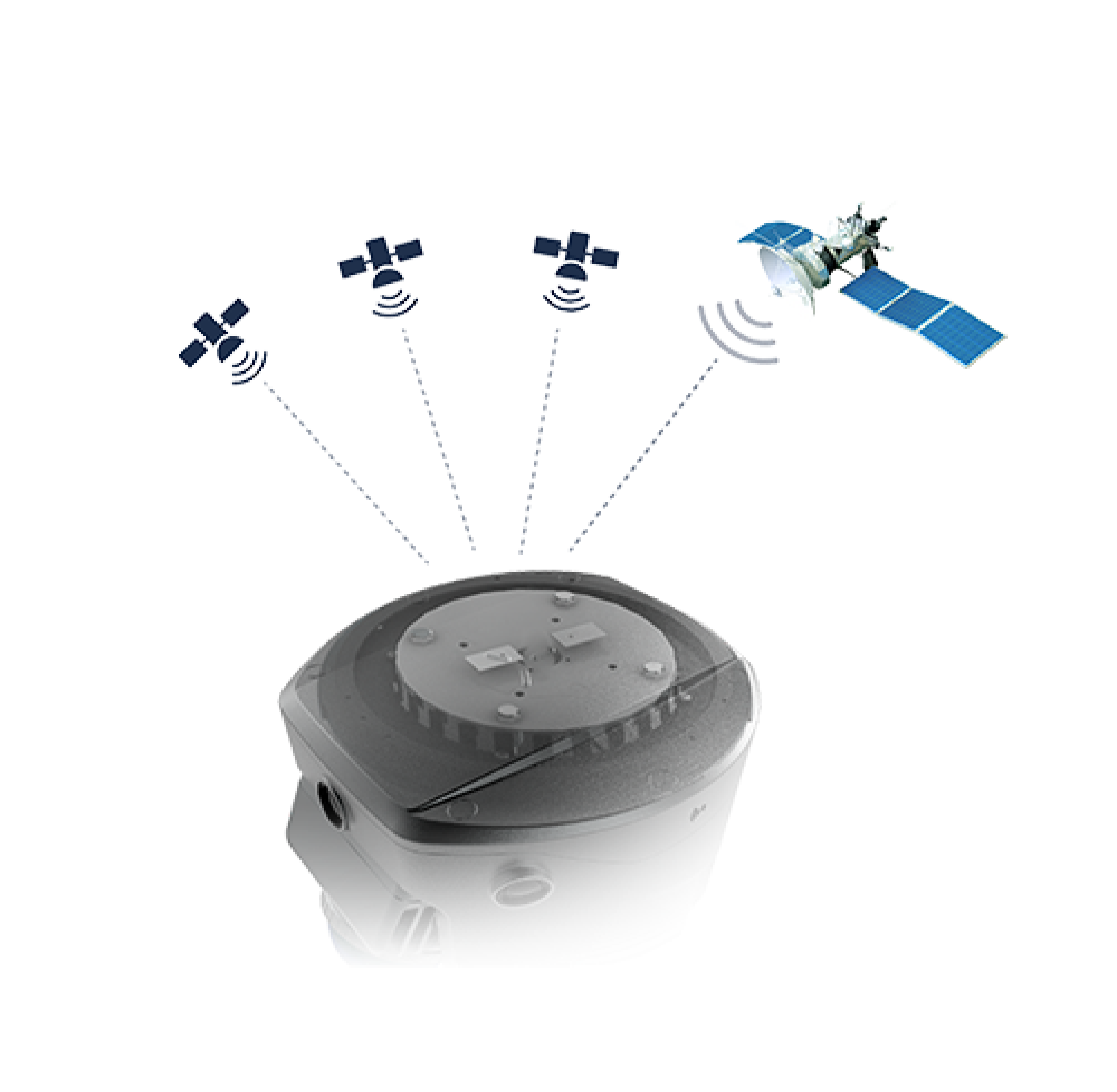
 GNSS RTK
 Marine & Hydrographic
 Soil Testing
 Aggregate Testing
 Concrete Testing
 Cement Testing
 Asphalt & Bitumen Testing
 Single Frequency
 HyDrone
 Dual Frequency
 Single Frequency Gpr
 Triple Frequency
 SELF-LEVELING LEVEL
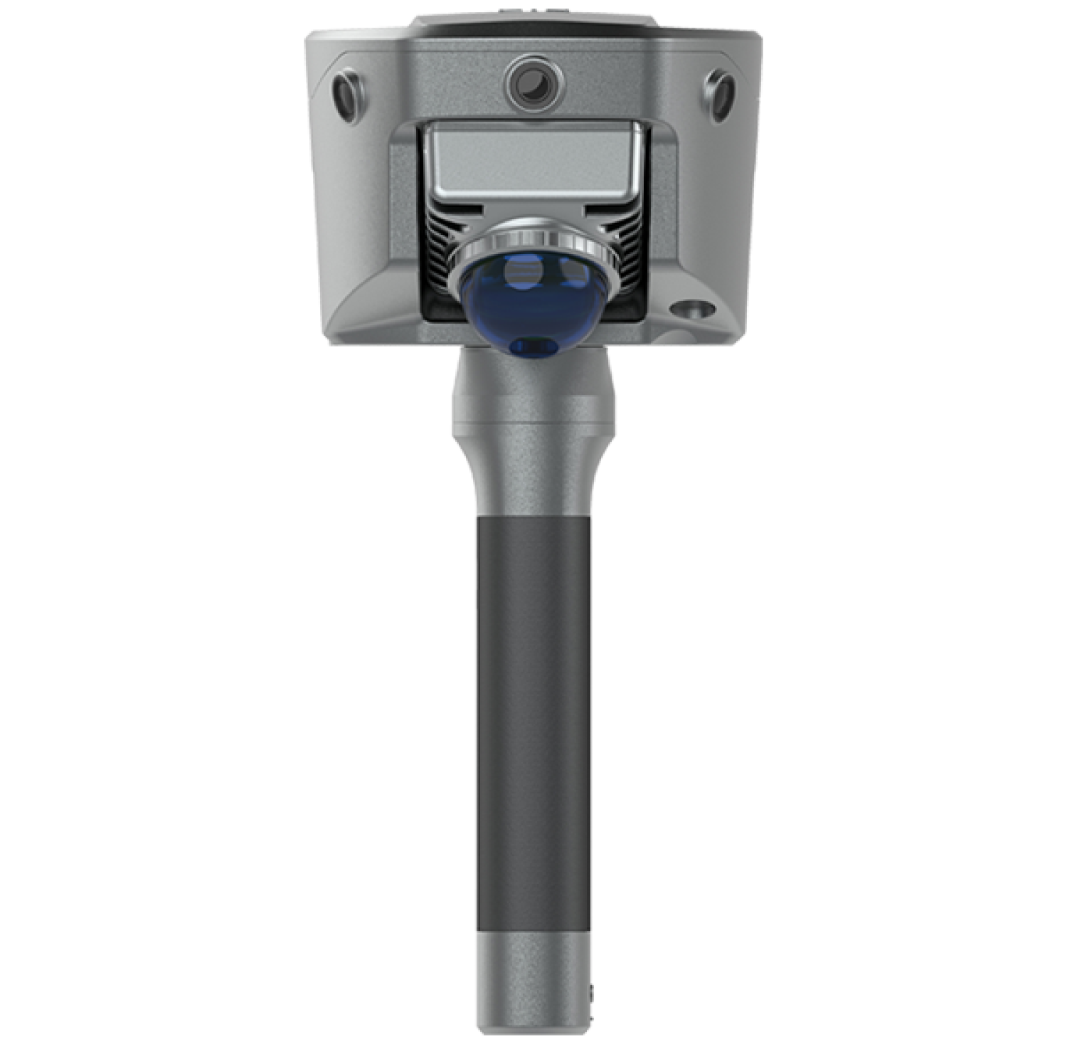
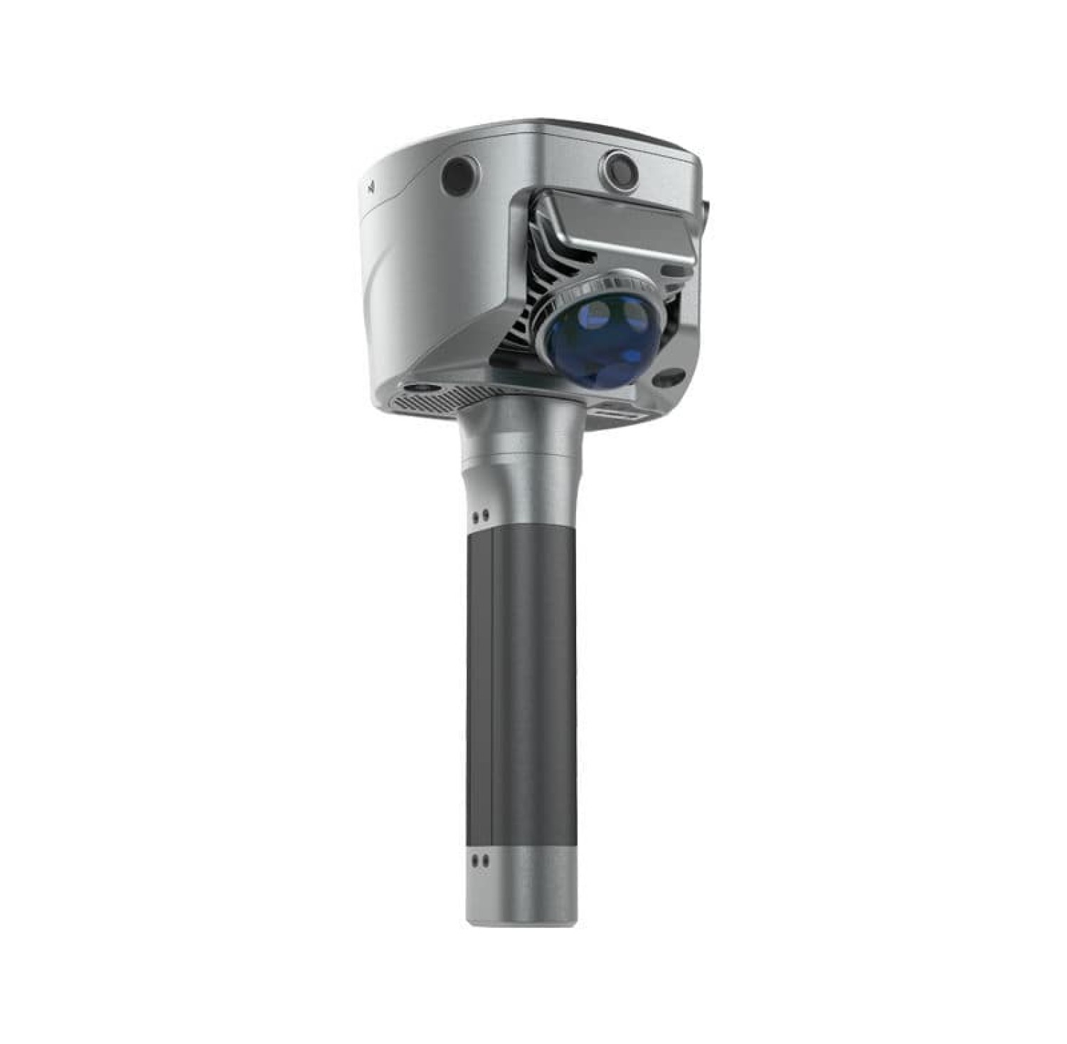
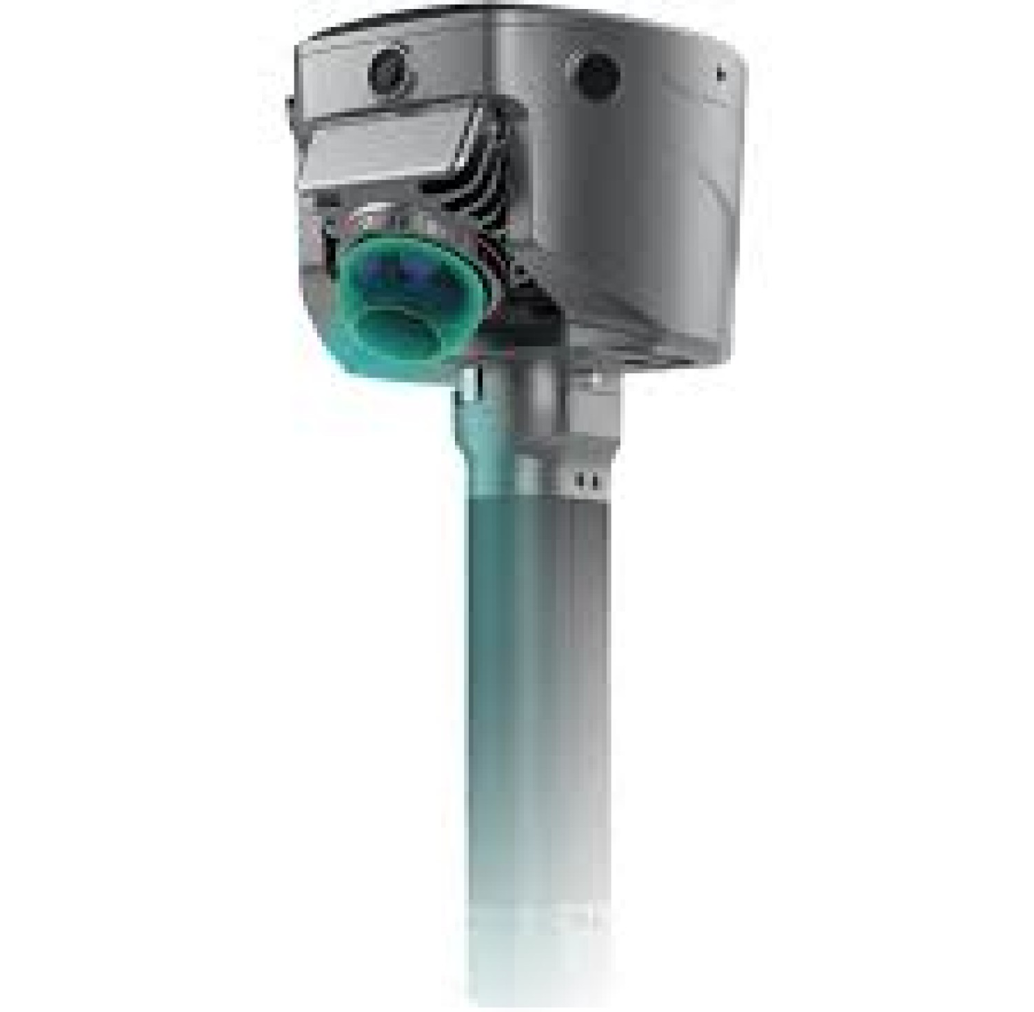
 Slam200
 Slam100
 Slam2000
 Cable/Pipe locator
 Outdoor Laser Measure
 Digital Laser Tape Measure
 Space Master Series
-
0
-
0